

Traditional ground-based surveyor methods have been the traditional way to capture site data, but it’s not always the most practical or effective solution, especially for large sites and those that are remote and hard to access. UAV surveying represents a safer and faster alternative, through the use of drones fitted with high resolution cameras and sensors, to gather spatial information in detail from above. This aerial method has become very valuable in the modern surveyor’s toolbox, and is often the only alternative to a ground-based survey when a project covers wide areas of land, infrastructure corridors or hard-to-reach structures, for which it is impossible or impracticable to use only ground-based techniques.
Types of Data UAV Surveying Can Capture
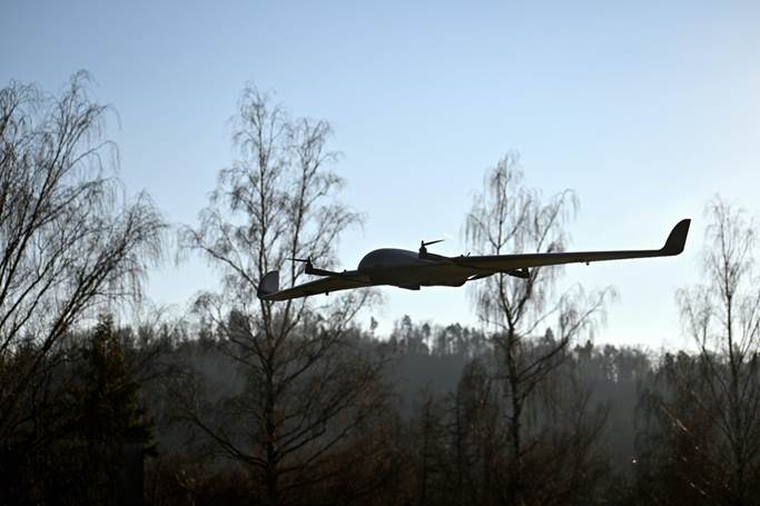
UAV surveying can be used to collect many types of data, not just aerial photography. Photogrammetry can be used to make precise measurements from captured images which can be used for accurate mapping and modelling of a site’s features. This is further enhanced by the use of thermal and multi-spectral imaging, which provide additional inspection capabilities including heat loss in buildings and vegetation health in agriculture. Drones are also perfectly suited to broad acre and long line terrain surveying and can cover a vast amount of ground that would otherwise take a lot longer with ground based surveying. uav surveying is also safer method to gather detailed inspection data for structures which are hard or unsafe to access directly, such as bridges, multi-storey buildings and mobile phone towers without the need for scaffolding or rope access.
How UAV Data Is Captured and Processed
A standard UAV survey starts with a thorough site scan that considers the need for safety protocols and airspace restrictions at the site before any flight is made. These are then taken by licensed drone pilots and are often accompanied by GNSS and RTK positioning data to provide a high spatial accuracy. The raw data is then converted into useful formats, like Digital Elevation Models, Digital Terrain Models and 3D surface models, that seamlessly integrate into construction, engineering and planning workflows. The use of aerial capture coupled with a thorough data processing ensures that the final survey data is very detailed and actually helpful for project teams further down the line.
Benefits of Choosing UAV Surveying for a Project
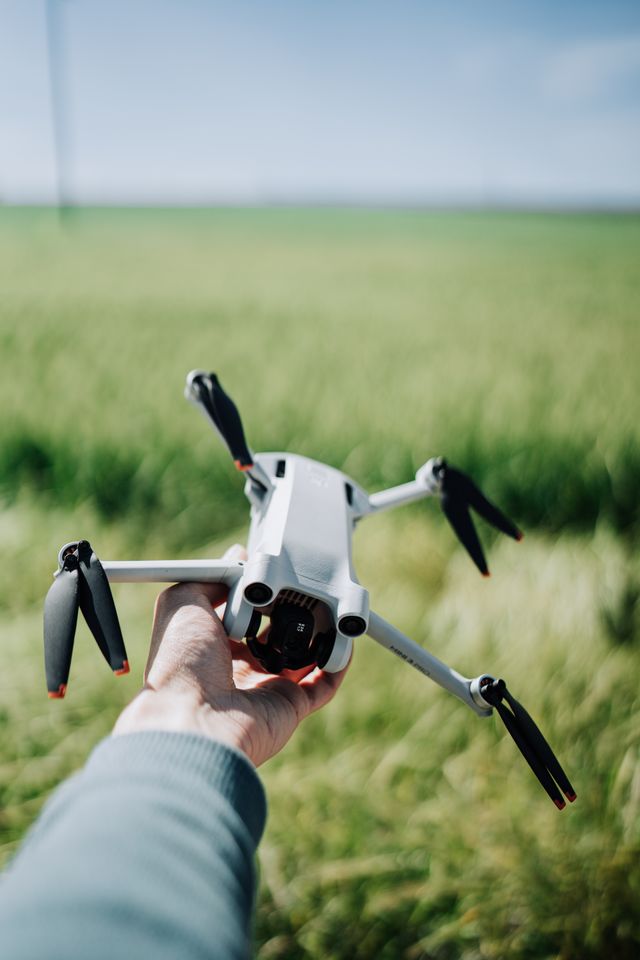
UAV surveying has several practical benefits over a traditional survey. It can save a lot of time at large or complicated sites and help projects move forward faster, while maintaining accuracy. Safety is also significantly enhanced, with the ability to inspect hazardous or hard-to-reach structures without having to put people at height or in hard-to-reach areas. UAV surveying is especially beneficial for time-lapse progress visualisation, volume monitoring, and disaster response scenarios where timely and accurate data is crucial. The quality and consistency of the data is assured by performing data preparation and quality checking, which makes the data ready for immediate use by project teams without needing to be heavily processed before use. In short, using UAV surveying in the business workflow of any construction firm, agriculture or infrastructure company provides a more timely solution without compromising the accuracy typically associated with quality survey data.